Title: Walt Whitman
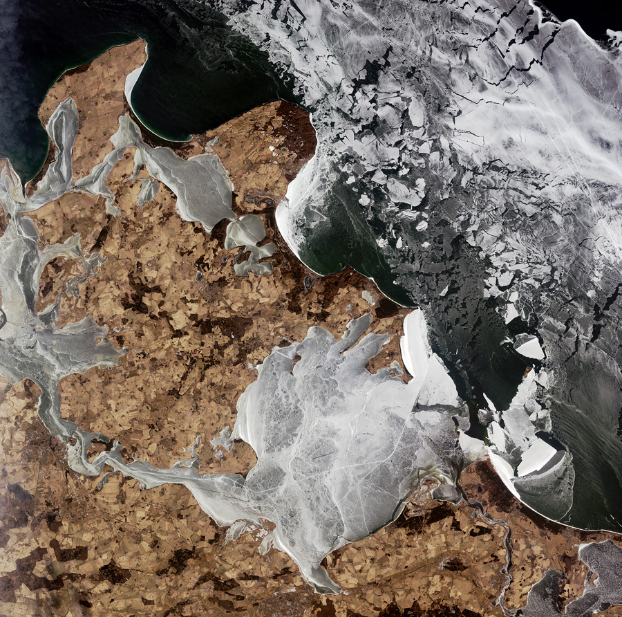
The icy waters of the Baltic Sea surrounding Germany’s largest island, Rügen, JAXA/ESA
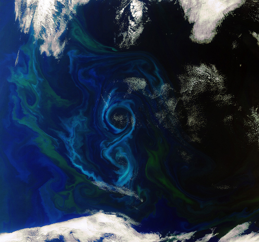
A phytoplankton bloom swirls a figure-of-8 in the South Atlantic Ocean about 600 km east of the Falkland Islands. Different types and quantities of phytoplankton exhibit different colours, such as the blues and greens in this image, ESA
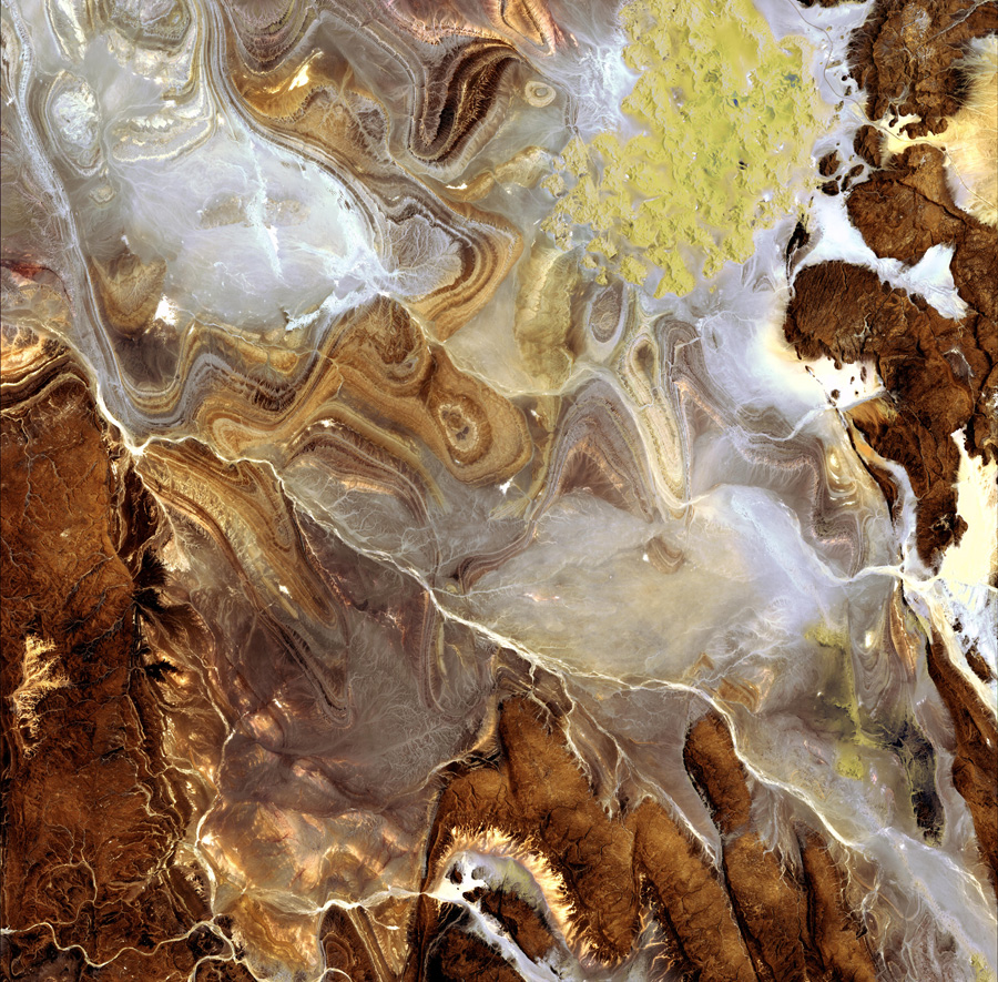
The landscape of the Tanezrouft Basin, one of the most desolate parts of the Sahara desert, in south-central Algeria. The region is known as ‘land of terror’ because of its lack of water and vegetation, JAXA/ESA

The southern Atacama Desert, with the border of Chile (west) and Argentina (east) running down the middle. The Atacama is believed to be the driest desert in the world, and the lack of cloud cover in this image highlights the dry climate, ESA
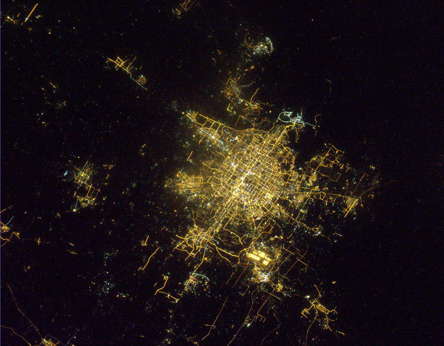
Beijing, NASA/ESA

Clearwater Lakes, located to the east of the Hudson Bay, what appears to be two separate lakes is actually a single body of water that fills two depressions. The depressions were created by two meteorite impacts, believed to have hit Earth simultaneously up to 290 million years ago, USGS/ESA
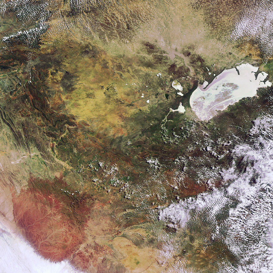
The northern part of the country of Namibia. Namibia is located on the west coast of southern Africa between Angola and South Africa, ESA
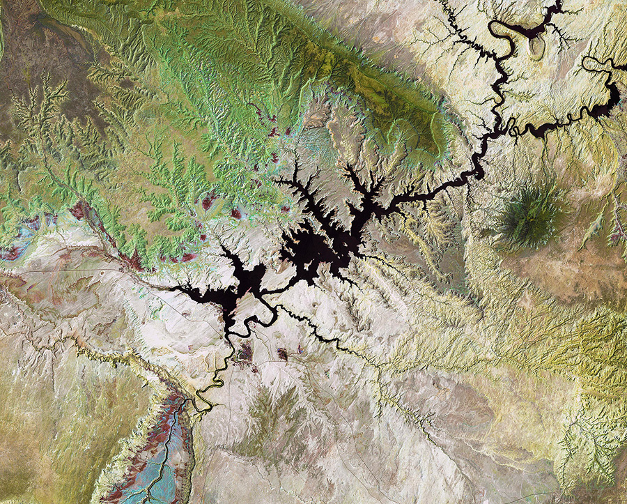
Lake Powell, USGS/ESA

In this false-color image of the Mississippi River delta, land vegetation appears pink, while the sediment in the surrounding waters are bright blue and green, USGS/ESA
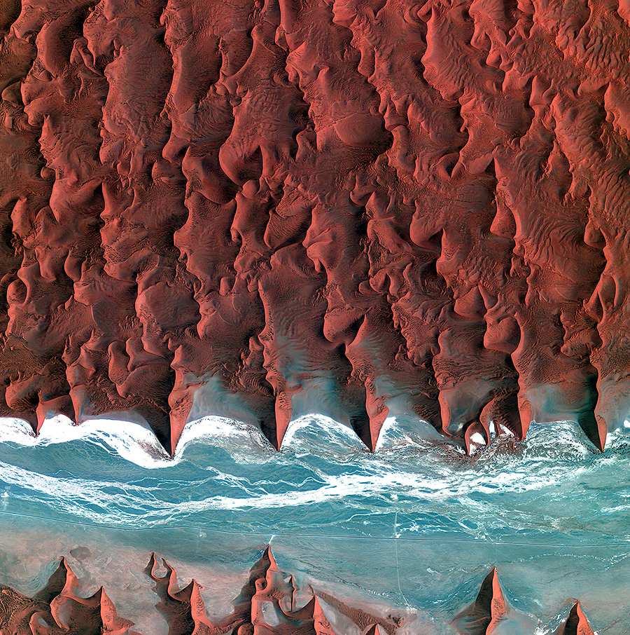
The sand seas of the Namib Desert, KARI/ESA
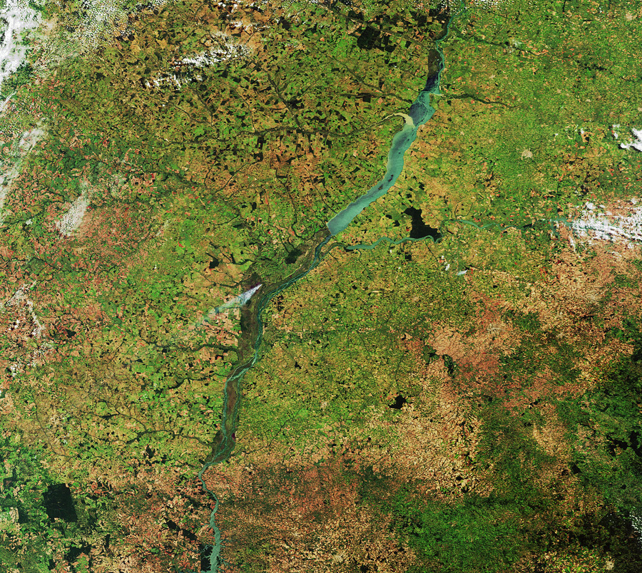
The Paraná River cuts through this image of southern Brazil, ESA
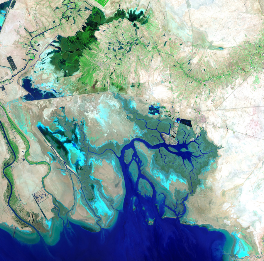
The northern end of the Persian Gulf, along with the border of Iran and Iraq and the mouth of the Shatt al-Arab river, USGS/ESA
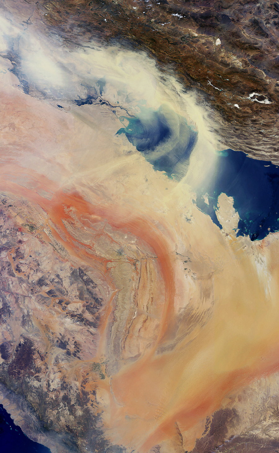
Sand and dust blowing northeast from the Arabian Peninsula across the Persian Gulf toward Iran (visible at image top), ESA
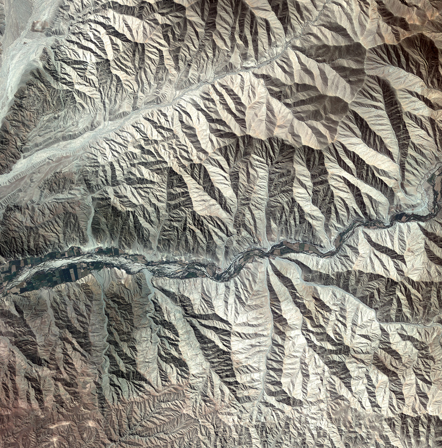
The foothills of the Andes mountains near the southern coast of Peru, KARI/ESA

Sand and dust from the Sahara Desert blowing across the Atlantic Ocean along the coasts of Mauritania (top), Senegal (middle) and Guinea Bissau (bottom), ESA
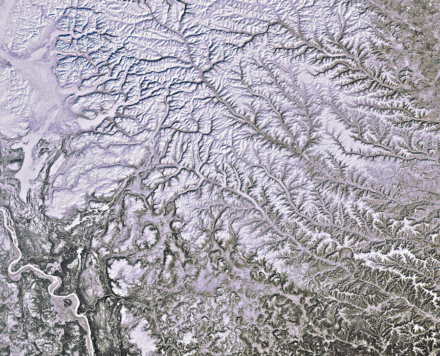
North central Siberia, ESA

Three of the five Great Lakes of North America. Lakes Huron (left) and Erie (bottom) are partially ice-covered following snow storms in Michigan and Cleveland, while Lake Ontario (right) is completely visible in blue, ESA
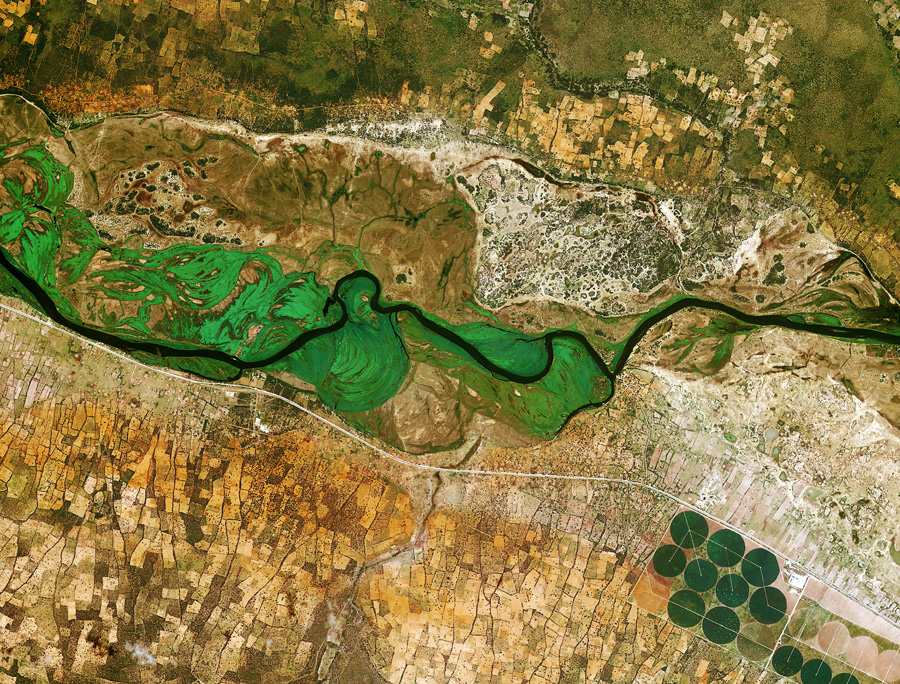
Running across the image, the Okavango River forms the border between Namibia to the south and Angola to the north, KARI/ESA
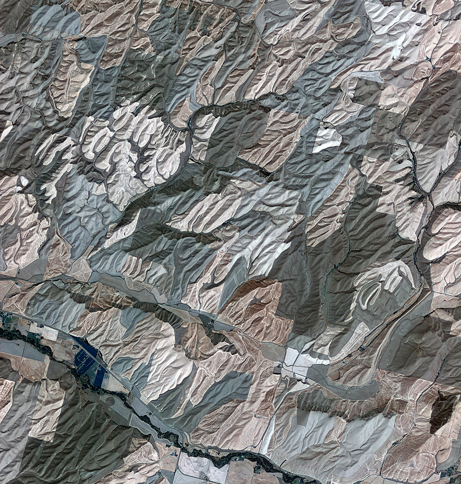
Rolling hills of farmland in part of the Palouse Region in the northwest United States, KARI/ESA
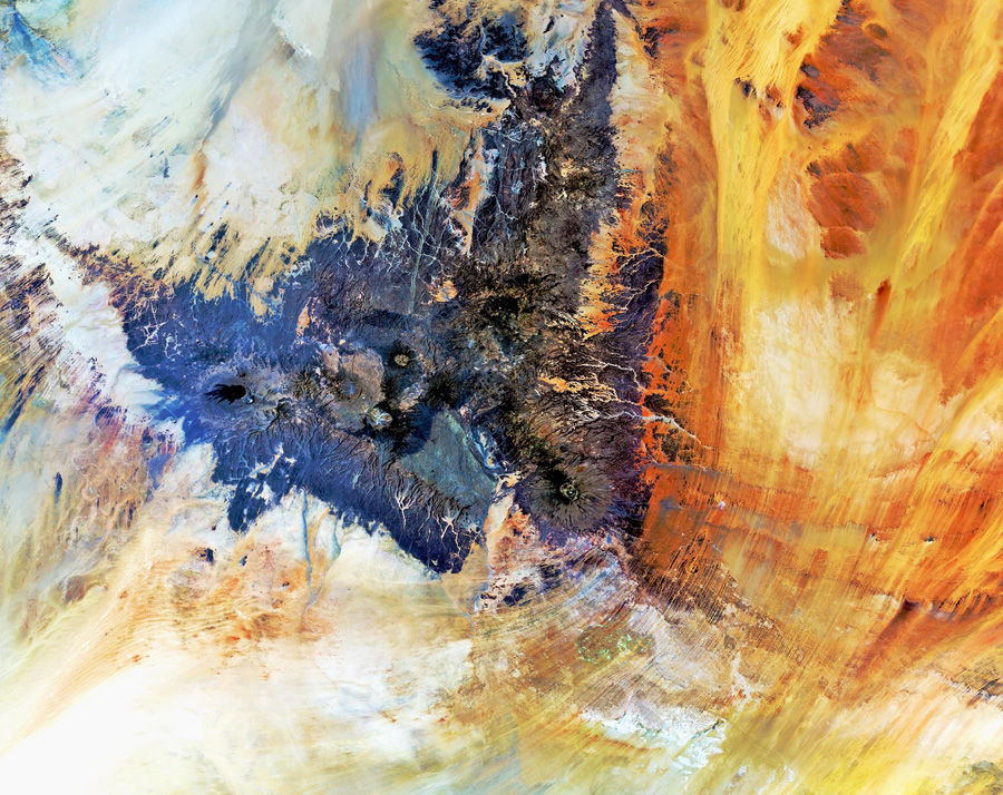
The Tibesti Mountains, located mostly in Chad with the northern slopes extending into Libya, ESA
More photographs of Earth